Energy
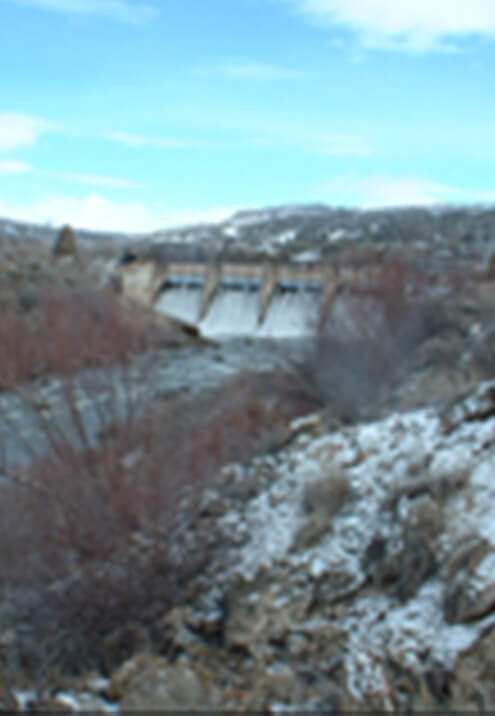
Manti-LaSal Coal Tract Evaluation Project, Utah
Under direct contract with the Manti-LaSal National Forest, Cirrus headed a team that: developed probable long-wall coal mining scenarios for two separate potential coal tract leases; assessed their potential impact on a range of environmental parameters including air quality, hydrology, geology, water quality, wetland and riparian resources, vegetation, wildlife, heritage resources, paleontology, visual resources, rangeland resources, and recreation; and prepared technical reports for each discipline suitable for the incorporation into two Environmental Impact Statements (EISs).
The first portion of the project required the development of a mining plan for each tract. Cirrus’ team of specialists included mine engineering subcontractors who developed the plans. These plans were the proposed actions in the ensuing NEPA process and were used as a starting point for development of alternatives.
In cooperation with the lead agency, Cirrus developed the purpose and need (Chapter 1) and the proposed action and alternatives (Chapter 2) for each of the future EISs. These chapters provided the framework for our description of the affected environment (Chapter 3) and assessment of the environmental consequences of the alternatives (Chapter 4). Each technical specialist on the Cirrus team gathered the necessary data either from existing sources or from the field. Our scope of work included extensive field efforts in the areas of:
- Ground subsidence potential
- Groundwater hydrology
- Roadless considerations
- Surface water quality and quantity
- Threatened, endangered, candidate, and sensitive wildlife species
In most cases, 2 to 3 years of data were gathered to establish a baseline of existing conditions for each tract. Impact assessment was then completed to disclose the potential impacts of the projects. We determined that the proposed long-wall coal mining could result in surface subsidence which could cause much of the land surface to settle. Most of the surface impact was projected to occur above the edges of the underground mine. These potential impacts were identified and disclosed according to the requirements of NEPA. Following the impact assessment and reporting, team members worked with the agency to devise an appropriate mitigation and monitoring scheme to minimize or eliminate potential impacts of the projects. Cumulative effects were also analyzed along with other required disclosures.
In association with this work, Cirrus completed additional hydrologic monitoring on each coal tract. This monitoring effort was completed to meet the permitting requirements of the Utah Division of Oil, Gas, and Mining. Monitoring efforts included extensive water quality and quantity measurements on springs and streams within each potential tract.
Our final products consisted of resource-specific technical reports that included all data gathered for the project as well as the analysis. Concise reports were also developed by each technical specialist containing information for inclusion in Chapters 1, 2, 3, and 4 of the EIS for each tract. This work effort was completed in anticipation of future coal demands. Compilation of each EIS document was to be completed under separate contract once the tracts were leased. The project began in 2001 and was completed in 37 months.
Wolverine Gas Seismic Testing, Utah
Under contract to Western Land Services, Cirrus is completing a series of biological surveys for Wolverine Gas and Oil Corporation’s seismic survey program in south- central Utah. These surveys are necessary for Forest Service, BLM, and state permitting of geophysical surveys for underground oil and gas resources on several central Utah tracts. These surveys address special status (i.e., federally listed and agency sensitive) plant and animal species as well as raptors. Cirrus also assists Wolverine in the development of mitigation measures and monitoring plans and provided monitoring services.
Geophysical surveys are used to confirm previous data and to gather new or supplementary data on subsurface geology that is used to define the location of potential reservoirs of commercial quantities of hydrocarbons. By helping determine high-potential sites for test drilling and well development, these surveys reduce unnecessary drilling and associated roads, pads, and other surface disturbances. Methods used for geophysical surveys include Vibroseis (vibrator trucks) and shot holes (drilled holes with explosive charges) to create sound energy under the earth’s surface.
The five seismic line groupings covered to date include a total of approximately 560 miles. Species lists received from the U.S. Fish and Wildlife Service and other federal and state agencies were reviewed and compared to habitats in the project areas. In areas where habitat existed for certain species, surveys were performed in accordance with agency protocols and under the direction of agency resource specialists.
Species were surveyed within their respective biological windows to ensure the data gathered met the required standards. GPS equipment was used to identify areas of concern or species occurrence. GIS mapping was then developed to report findings and identify areas of concern or buffered areas that should be avoided. GIS mapping played a critical role in the success of the project. GIS maps were developed based on the field surveys completed and then submitted to the client for use during project implementation and later during project monitoring.
Survey results were documented in field survey reports with applicable mapping and submitted to the appropriate land management agencies. Depending on land ownership patterns and whether federal, state, or private lands were involved, the required survey reporting included Biological Assessments, Biological Evaluations, Management Indicator Species reports, or wildlife reports.
A total of five seismic line groupings were surveyed in 2005 and 2006, and several other areas are slated for survey in 2007. The surveys provided sufficient support for the permitting process, and the surveys were completed on a time-and-materials basis within the agreed-upon schedule.